
Aurora Neighbors by Block
A block lookup works best as a set of linked record questions. ArapaMAP shows the shapes and identifiers of nearby parcels. The Aurora property map adds city planning and service context. A county assessor supplies tax-roll owner and mailing fields, while the recorder supplies the legal transfer trail. Voter tools answer a narrower person-match question. Directories, newspapers, and archives add historical neighbors without pretending to be current household rolls.
| Source | What It Shows About a Block | Access |
|---|---|---|
| Arapahoe ArapaMAP | Adjacent parcel polygons, parcel IDs, roads, jurisdictions, aerial context, district and election layers | Free online GIS; county office route for questions or records |
| Aurora Property Information | City-limit parcel, lot/block, subdivision, permits, HOA, neighborhood, code, PAR, fire, school, and ward clues | Free address map; city records request when the underlying document is needed |
| County assessor | Owner, situs address, tax mailing address, legal description, parcel ID, value, and map context | County portal, counter, phone, or email; county depends on the parcel |
| County recorder | Deeds, plats, easements, releases, liens, reception or instrument numbers, and party names | Online index or office/copy route; old material may need a request or station |
| Colorado voter lookup | A name, birth date, and residential ZIP match, plus the county and election route | Free match tool; county clerk or SOS report request for a permitted list question |
| Library and archive channels | Historical subscriber, householder, obituary, neighborhood, institutional, and cemetery clues | Local library, museum, archive, mail, email, or appointment |
| Neighborhood association layer | Association boundaries, group names, support route, and a dated 2020 contact snapshot | Current ArcGIS map and city registration route; no public member roster located |
An owner field is not a resident list. A mailing address may belong to a trust, estate, business, or owner living elsewhere. A directory subscriber may be one person, a business, or an institution. A neighborhood label describes a civic overlay, not everyone on the block. Read each result for its record type before treating it as a clue about your Aurora neighbors.
Aurora Neighbor Parcels in ArapaMAP
The cleanest block method begins in the county GIS viewer. ArapaMAP can locate an address or parcel, show parcel information, switch to aerial imagery, turn layers on and off, measure, draw a redline, and print a view. The inventory includes more than 100 layers, although the exact popup fields and selection behavior can change. The target parcel is only the starting point. The surrounding polygons supply the block's legal geography.
- Locate the target address or parcel and note the county, parcel ID, legal description, map date, and visible road names.
- Turn on parcel boundaries and aerial imagery, then zoom until the target and its touching polygons are distinct.
- Click the opposite-side, corner, rear, alley, tract, and common-area parcels one at a time. Save each parcel ID and legal description.
- Open any county parcel or assessor link, then record the situs address, owner field, mailing address, AIN or PIN, and tax context.
- Compare the adjoining parcel's deed date, plat, permit, HOA, and neighborhood clues without merging separate properties into one household.
- Use measure, redline, or print to preserve the block view. For a named street and its full chain, move to the Aurora street directory workflow.
The research did not expose a stable official bulk-select or fixed-radius result in the current viewer. [RESEARCH GAP] The exact buffer and export behavior should be checked in the live map before promising a radius search. Clicking parcels one by one is slower, but it keeps a corner lot, rear tract, or shared common area from disappearing into a broad label.
The Aurora neighborhood association map shows how a civic boundary can sit beside, rather than replace, the parcel layer.
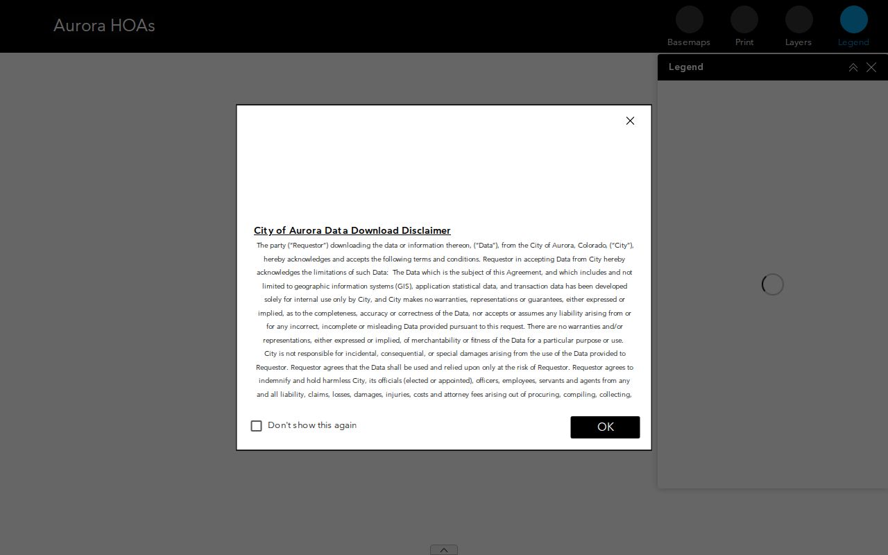
The map is useful for a community name and boundary lead, but it does not publish every member or household on the block.
Aurora Parcel Edges Need Care for Neighbors
Neighbors are not always the parcels that look closest on a street view. A corner parcel can have two frontages. A rear parcel can sit behind another address. An alley, drainage tract, metro district, or HOA common area can touch several homes without being a private residence. ArapaMAP's measure and aerial tools help explain those relationships, while the legal description and parcel ID keep the notes tied to the right land record.
- Parcel
- A mapped unit of land with a county identifier. It can hold a house, business, vacant tract, association common area, or public facility.
- Situs address
- The physical location used for maps, permits, school or ward context, and city address searches.
- Mailing address
- The tax-notice destination. It may be outside Aurora, outside Colorado, a post-office box, or a trust, estate, or business address.
- Legal description
- The lot, block, subdivision, quarter-section, or other land description used to connect plats and recorded instruments.
- Common-area parcel
- A tract tied to an association, district, developer, or shared facility. It should not be counted as a household.
Shared driveways, a repeated mailing address, or the same HOA name can explain why two parcels show related fields. None proves that the named parties share a home. A duplex or multifamily parcel can contain more people than the tax roll shows, and no complete public unit-occupant list was located in the research.
Aurora Owners, Situs, and Mail for Neighbors
After the map identifies the county, use that county's assessor and recorder rather than treating Aurora as one records office. Arapahoe's parcel search accepts AIN, PIN, or address modes. In address mode, the fields are Number, Range, Street Name, and Unit, and the instructions say to leave out the directional prefix and street type. The page also says assessed property is unavailable by address, so the address is a route to an AIN or PIN, not the final tax-card key.
Adams-side parcels route through the Adams County maps and public-records hub and its recorder portal. Douglas-side parcels use a separate county assessor and recording route. Arapahoe lists the Clerk and Recorder at clerk@arapahoegov.com and 303-795-4200, and the assessor at assessor@arapahoegov.com and 303-795-4600. The county office page states Monday through Friday, 8 a.m. to 4 p.m. effective January 1, 2026, with appointments possibly required.
Owner: Tax-roll party tied to the parcel. Verify the recorded deed before calling it a complete ownership history.
Mailing address: Where tax notices go. It is not proof that the owner lives at the situs.
AIN or PIN: Stable county search key for parcel cards, maps, sales, and the recorder's legal-description trail.
Legal description: Bridge from the map to deeds, plats, easements, and common-area documents.
Value or tax context: Property record information, not a measure of household size, occupancy, or neighbor relationship.
If an online parcel card or deed image stops short, use the custodian's next channel rather than guessing. Arapahoe lists phone and email routes for both the Clerk and Recorder and Assessor, and county offices can direct a counter visit or a specific written or mailed request. Adams provides LandmarkWeb for its online index and image path, with certified-copy service through the office. Douglas lists research stations for older material and warns that staff can locate a book or page but will not perform open-ended chain research. Historical block questions can move to the Aurora Library, History Museum, Denver Public Library, FamilySearch, or State Archives by online catalog, email, mail, or appointment. [RESEARCH GAP] No official bulk-street export was located, and the historical starting point for the Arapahoe online deed index was not displayed.
Note: The county boundary controls the records route, even when the postal last line and city name both say Aurora.
The Adams County maps and public-records resource illustrates why a county-specific map is needed on the Adams side of Aurora.
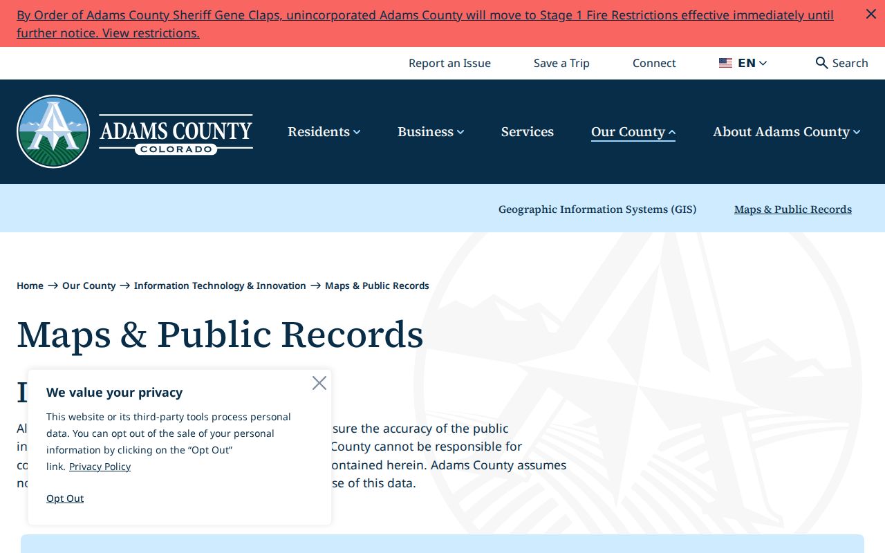
Adams combines assessor, recorder, survey-plat, permit, map, and other public-record paths, but its own disclaimer warns that map information may be incomplete or contain errors.
Aurora Neighbor Map Community Signals
The Aurora Property Information map adds the community layer that a county parcel card does not. Its address search is limited to city-limit addresses and can expose the county, parcel ID, lot, block, subdivision, annexation ordinance, zoning, permits, HOA, neighborhood, code-enforcement district, Police Area Representative, fire, schools, ward, and council fields. Those categories help explain how a block is served and named. They do not create a public directory of everyone who lives there.
Aurora's public-document search supplies another address lead. It can search by address, subdivision, or quarter section and return permit, plat, deed, or addendum metadata. The visible examples include a 2004 Aurora Reservoir subdivision plat, a 2011 quitclaim deed, and permit rows from 2013 through 2022. The city describes the index as under development and says the information may not be official. Treat a result as a pointer to the custodian, then request the underlying record.
For a code, permit, or project question, preserve the address, parcel number, date range, and document category. The city map's contact fields may identify a coordinator or officer, while the underlying record may require a specific written or NextRequest request under CORA.
Aurora Neighbor Association Map and Support
A neighborhood association is a community-directory lead, not a substitute for a member roster. Aurora's current support route describes a map of neighborhood associations, HOA support, notices, comments, grants, meeting rooms, and registration through the city's development portal. Groups of three or more can register for participation. The map and registration route can connect an address to a named group, but the research located no public list of all association members.
| Route | What It Helps With | Boundary |
|---|---|---|
| Current ArcGIS experience | Association names, labels, and dynamic community boundaries | Map fields can change; no public member roster located |
| City neighborhood and HOA support | Group registration, notices, comments, grants, and meeting-room or support routes | Group participation is not a household census |
| Aurora 2020 association-president PDF | Dated association and contact snapshot for historical context | June 4, 2020 list is not a current roster |
| 20th Hole THOA and Adonea Metropolitan District #2 | Association names recorded in the 2020 snapshot | Verify a current contact through the map or city support route |
| Allred HOA at Jamison Circle and Americana groups | Named HOA or condominium leads for older block research | Historical names do not publish current members |
| Andover Glen | Named association lead for matching a dated neighborhood reference | Do not treat the 2020 contact as current without checking |
| City or group contact | Ask for a named association's current public contact or registration path | Do not request private member or household information |
The practical order is map first, group name second, current city support route third. A group may cover a subdivision, townhouse association, metro district, or broader neighborhood overlay. Its boundary should be saved with the map date instead of assumed to follow parcel lines. [RESEARCH GAP] The inspected sources did not locate a consolidated Aurora congregation or block-watch roster.
The Aurora neighborhood and HOA support page shows the registration and civic-support route that sits beside, rather than inside, county property records.
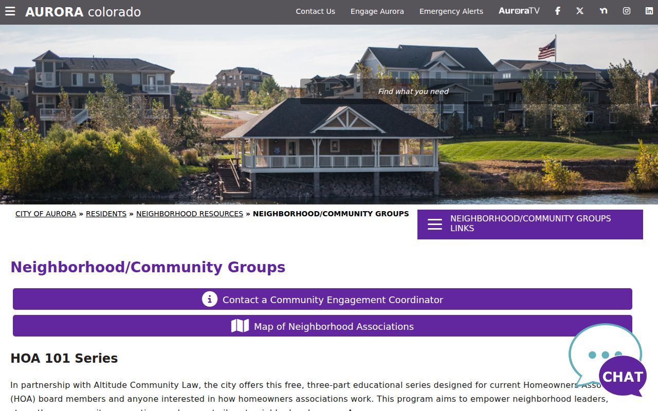
Use the current support page for group participation details, and do not treat a support listing as evidence of every resident or owner in the mapped area.
The 2020 Aurora Neighbor Association Snapshot
A dated city PDF titled “Neighborhood Associations - Presidents” is useful when a block's older civic identity matters. The June 4, 2020 document runs 27 pages. Page one names groups such as 20th Hole THOA, Adonea Metropolitan District #2, Allred HOA at Jamison Circle, Americana II Condominiums, Americana Master Association, Americana Townhome Association, and Andover Glen. Those names can help interpret an old letter, newspaper notice, or house-history note.
The snapshot must stay dated. Contacts change, groups merge, and the current ArcGIS experience is the better boundary source. Verify any association through the current city support route before sending a request. The older PDF is not a current list of presidents, a list of members, or a release of household information.
Note: An association name can explain a parcel or common-area record, but it cannot establish who occupied a neighboring unit on a particular day.
Aurora Neighbor Voter Matches by Block
The Colorado voter lookup is a person-match tool, not a block-wide address wildcard. It asks for first name, last name, date of birth, and residential ZIP. The Secretary of State voter-data guidance describes public fields that can include full name, residential address, party affiliation and date, phone if supplied, gender identity if supplied, birth year, and prior-election participation. Social Security number, driver's-license number, full birth date, signature, email, and protected-voter information are confidential.
A no-match does not show that a neighbor is absent from Aurora. The person may be registered in another county, use a name variation, have a protected status, or have a different ZIP. Aurora's three-county geography makes the relevant county elections office important according to parcel location.
Does one name and ZIP match? Use the state lookup with the required name and birth-date fields.
Which county maintains the local route? Confirm the parcel county, then contact that county elections office.
Is a permitted report needed? Use the SOS voter-file request form, with report code, payment, delivery, and use limits.
Can the result show ballot choice? No. Participation history does not reveal how a person voted.
The Secretary of State's data-request process documents mail, fax, email, payment, pickup, and report choices. Request the smallest lawful scope. A bulk report is not a reason to publish a block list, and the ordinary web form should not be scraped into a neighbor directory.
The Arapahoe Votes election office is one official county route for an Aurora block, while the state lookup remains the statewide person-match tool.
County election offices can explain local procedure, but their public files still follow Colorado's protected-voter and confidential-field rules.
Aurora Neighborhood History Around the Block
Some neighbors appear first in local history rather than a current parcel roll. The Aurora historic-sites directory identifies Melvin-Lewis Cemetery at 5600 S Parker Road, established in the 1860s and landmarked in 2019. It is a landmark lead, not a city-hosted searchable interment roster. [RESEARCH GAP] No public citywide name-searchable Aurora cemetery database was located. A burial clue should move through the site or museum, cemetery office if known, county death material, State Archives, or a written request.
The Aurora History Museum at 15151 E Alameda offers finding aids, supervised appointments, and research or reproduction services. A request can name a person, address, neighborhood, institution, or event, and the museum page allows up to two weeks for research. The local library and archive network adds Colorado, genealogy, history, and newspaper databases, historical directories, obituary indexes, cemetery material, and family-history referrals. Those are archive or referral channels, not current household directories.
For a historic block, ask for a named year and source. Local telephone and city-directory runs, newspaper scans, Sanborn maps, museum findings, and State Archives material may show a subscriber, institution, or former neighbor. Preserve the image and page context because OCR or a directory heading can change what a name means.
The Aurora historic-sites resource places Melvin-Lewis Cemetery within a broader local record trail rather than presenting it as a searchable resident list.
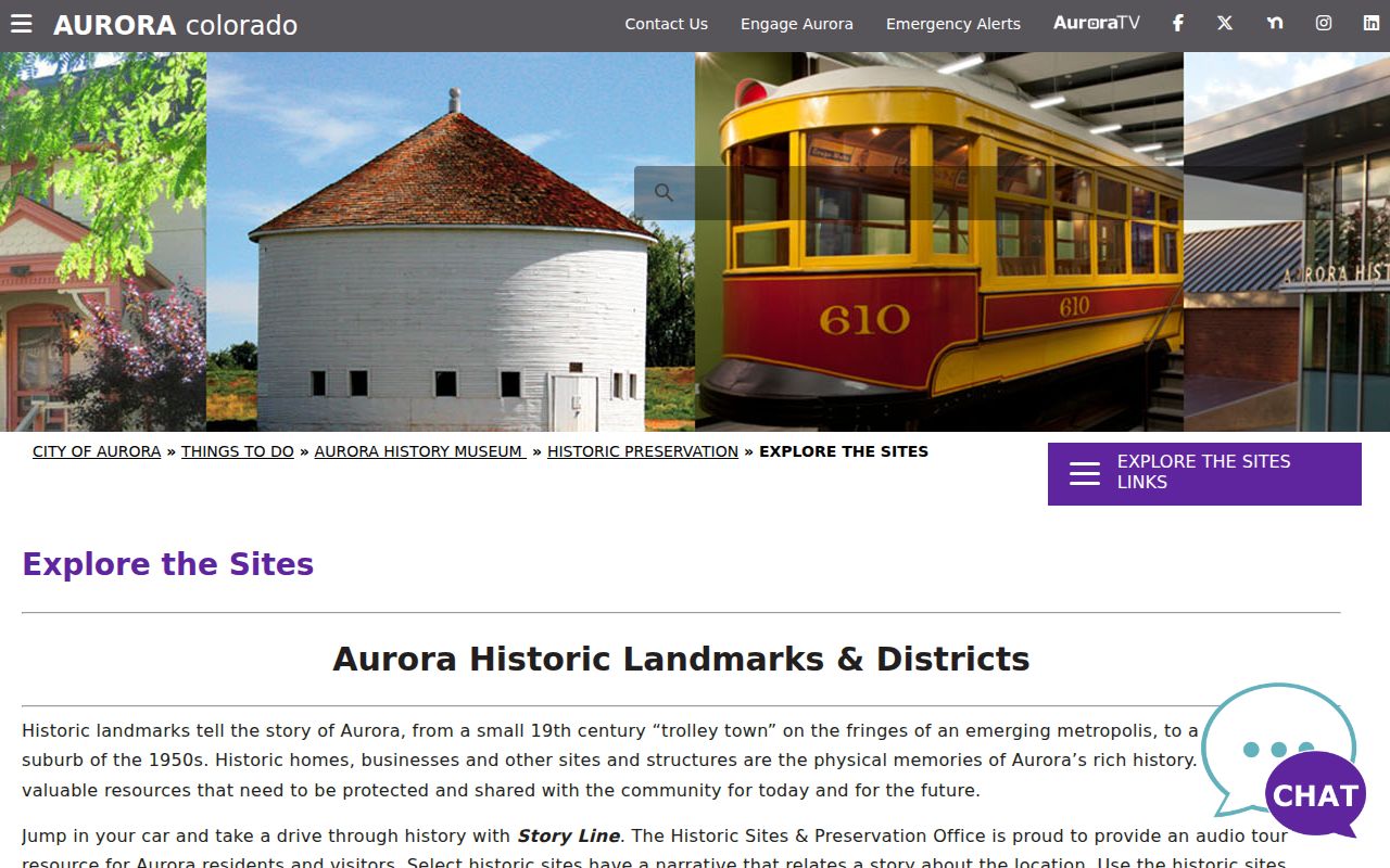
Historic context can explain a block's past name or institution, but a landmark record still needs to be paired with the correct county, year, and record custodian.
Privacy Boundaries for Aurora Neighbors
Official records have edges. County parcel and deed systems may show an owner or recorded party, not non-owner occupants, children, guests, or every unit in a building. Colorado voter access separates public fields from protected information. The Address Confidentiality Program (ACP) provides a legal substitute address and confidential mail forwarding for eligible participants, and protected voters can be withheld when disclosure creates a risk of criminal harassment or bodily harm.
| Source type | Useful clue | What it does not establish |
|---|---|---|
| Official parcel, deed, or voter record | One custodian's field, party, parcel, or permitted registration match | A complete household, current physical presence, or relationship between nearby people |
| Compiled commercial neighbor category | May combine public, marketing, and user-supplied address clues | Reliable current identity, complete coverage, or permission to publish a block list |
Lawful personal use. Neighbor research can support local history, reconnecting, civic curiosity, and ordinary safety awareness. Do not use a record to stalk, harass, intimidate, threaten, or harm a person.
There is no public utility-customer list, DMV address layer, complete household-member roster, or guaranteed list of everyone who lives near a parcel. The Colorado Privacy Act, CORA, C.R.S. §24-72-102 et seq., and CCJRA, C.R.S. §24-72-301 et seq. do not turn protected or confidential material into an open block directory. The federal Driver's Privacy Protection Act, 18 U.S.C. §§2721-2725, is another reason not to imply that motor-vehicle data is available. When a record is missing, ask the originating custodian whether it is outside the county, not digitized, redacted, sealed, or protected.