
Tracing an Aurora Street Address
A street directory search works best as a chain, not as a single lookup. Start with the physical address, confirm the city and county, and capture the parcel key before reading a name as evidence. The address points to a parcel. The parcel supplies an owner and legal description. The legal description opens the deed trail. The voter portal can provide a person-match clue, while a criss-cross or telephone directory can place a listed household at the address in an earlier year. Each step answers a different question.
Follow this Aurora by-address workflow:
- Enter the address in the Aurora Property Information map and record the county, parcel ID, lot or block, subdivision, quarter section, annexation, and public-document links.
- Open the proper county assessor card. Capture the AIN or PIN, situs address, mailing address, owner field, legal description, tax year, and map link.
- Search the current owner as a grantee in the county recorder index. Open the purchase instrument, copy the seller or grantor, and carry the legal-description wording into the next search.
- Use the Colorado voter lookup only as a person-match check with First Name, Last Name, DOB, and residential ZIP. A match does not establish a full household.
- For earlier occupants, compare the Library of Congress Aurora telephone run, museum directory citations, criss-cross volumes, newspapers, and census dates without treating a listing as current.
The chain separates an owner of a parcel from a person listed at the address. It also makes a no-result useful: the failed key, county, year, or format shows which route needs changing.
Aurora Property Information Connects Address to Parcel
The Aurora Property Information map accepts an autocomplete address inside city limits. Enter a street-direction prefix as a letter, such as E, N, or S, without punctuation. The returned context can include County, Parcel ID Number, Lot, Block, Plat Page or Quarter Section, Subdivision Name, Subdivision Case Number, Annexation Ordinance, Zoning, Title 32 Metro District, Urban Renewal Area, trees, and public documents. Full Map opens the city GIS context around the selected address.
That first result is a routing record. It can also expose business-license fields, building-permit issue dates and valuations, HOA and neighborhood labels, code-enforcement contacts, police and fire areas, school assignments, ward, mayor, and council information. These categories explain which public office may hold the next document. They do not create a household list. The map is limited to city-limit addresses, and the exact live result card was dynamic in the research capture.
Direction format is an Aurora-specific search quirk. The city map needs the direction prefix, while the Arapahoe assessor's address mode says to leave directions and street types out. Keeping a note of the form used prevents a failed county search from being mistaken for an absent parcel.
Arapahoe AIN, PIN, and Address Fields
Arapahoe County's parcel search is the main assessor route for much of Aurora. It offers By AIN, By PIN, and By Address modes. The address mode is a bridge to the parcel identifier rather than the preferred assessed-property search. The portal says assessed property is unavailable by address and directs the researcher toward AIN or PIN use. Leading zeroes matter.
The field behavior below is taken from the inspected Arapahoe portal. Direction and street-type warnings are easy to miss, especially after an address was copied from the city map.
| Field | Format or function |
|---|---|
| AIN | Format displayed as 0000-00-0-00-000; leading zeroes required, with hyphens or no spaces accepted. |
| PIN | Use leading zeroes and no spaces; carry the number from the parcel result. |
| Number | Street number in the By Address mode. |
| Range | Separate range field in the address form. |
| Street Name | Street name only. Do not add a direction or street type here. |
| Unit | Unit field where the address form presents one. |
| Direction and street type | Leave out N, S, E, W and Ave, Blvd, or similar types in the Arapahoe address fields. This differs from the Aurora city map's direction-prefix rule. |
The expected parcel card can show owner, mailing and property or situs address, identifiers, legal description, value and tax context, and map or related links. Exact result labels and exemption controls were not exposed in the live browser response, so those fields should be read from the current card rather than filled in from assumption.
The Arapahoe parcel viewer source is linked for this address-search field inventory.
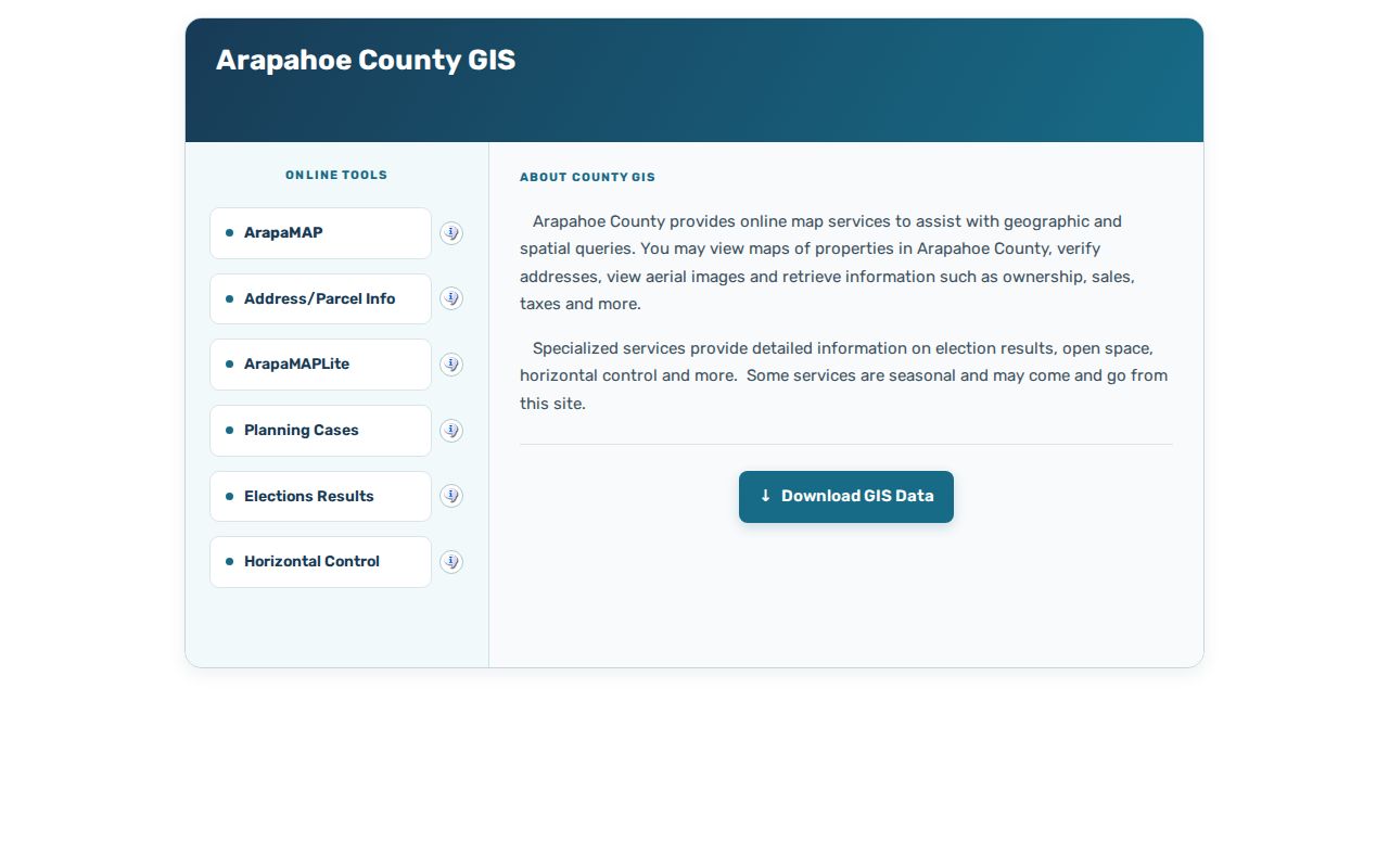
The county parcel view supplies the parcel key that makes a street search more stable than a typed street name alone.
Aurora Street Directory Records by Address
An Aurora street directory is a set of address-keyed sources with different owners and limits. The coverage table keeps current property evidence, public-document clues, historical listings, and voter visibility separate. A whole street usually requires parcel-by-parcel work because the inspected research did not locate an official bulk street export.
| Address record | Keeper | Fields or trail | Street limitation |
|---|---|---|---|
| City property card | Aurora Property Information | County, parcel, lot/block, subdivision, annexation, zoning, permits, HOA, neighborhood, ward, schools, public documents | City limits only; not a household list |
| Parcel and tax card | Arapahoe, Adams, or Douglas assessor | Owner, mailing and situs addresses, legal description, account ID, value and tax context | Mailing address can differ; route by county |
| Deed, plat, or easement | County Clerk and Recorder | Grantor, grantee, reception or instrument number, date, type, legal description, lot/block, image | Street address may not be indexed |
| Permit or public document | Aurora city records and REST layers | Permit or folder ID, issue date, valuation, description, condition, property and address | Applicant is not necessarily owner or resident |
| Voter registration clue | Colorado SOS and county clerk | Name match, residential address, party/date, birth year, participation, precinct route | Person-match tool is not a street wildcard |
| Historical directory | LOC, library, DPL, museum, archive | Subscriber, householder, business, or institution at a year and address | Coverage, geography, OCR, and listing status vary |
Use the parcel ID and legal description to reconcile the first four rows. Use the voter and directory rows as separate person or time clues. The result is a documented street record trail, not an unsupported claim about every person on a block.
ArapaMAP Walks Aurora Parcels by Street
ArapaMAP provides address and parcel locate tools, aerial imagery, a layer selector, measure, redline, and print controls. The research inspection found more than 100 layers. Parcel information can include county or jurisdiction, parcel ID, districts, political and tax statuses, property maps, sales, taxes, and election precinct context after certification. The exact popup schema and export behavior remain dynamic.
To browse an Aurora street, locate one known address, turn on parcel boundaries and aerial imagery, and zoom until adjacent polygons are clear. Click each parcel on both sides of the road, then check the opposite side, corner parcels, rear tracts, alleys, easements, drainage, and common-area parcels. Record parcel IDs and legal descriptions before following county links. Measure and print tools can preserve the street segment and map date, but a map display is not a certified deed.
A neighborhood label is a planning or community overlay, not a legal boundary. The city property map may add HOA, neighborhood, school, ward, fire, or public-document context. Shared driveways or a common HOA parcel do not prove a shared household. For current ownership, reconcile GIS geometry with the assessor card and recorder instrument.
The Aurora public-document search source shows the public parcel-viewer route for an Aurora street directory search.
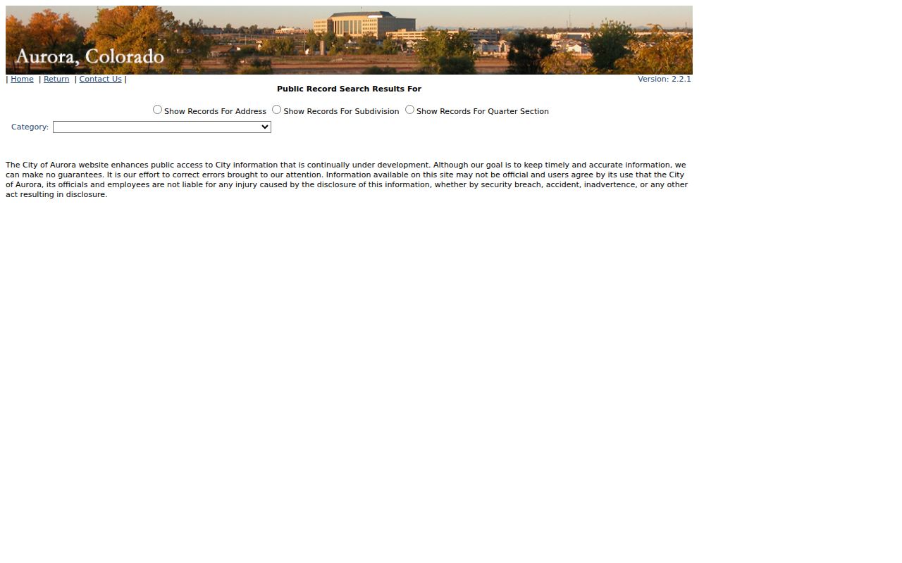
City public-document search adds address, subdivision, and quarter-section modes, but its own disclaimer says the information may not be official, so the custodian remains the final source.
Aurora Permits Add a Property Timeline
Aurora public documents and permits can explain why an address appears in one source but not another. The city search offers address, subdivision, and quarter-section modes. A visible sample at 26100 E 68TH AVE returned 194 documents, including a commercial building permit released May 25, 2022. Another address, 20308 E Coolidge Dr, returned 10 records in the 2013-2017 range. A quarter-section result included a 2011 Quit Claim Deed and the Aurora Reservoir No. 1 subdivision plat dated February 8, 2004. Those are sample rows, not universal start dates or ownership findings.
The Aurora building-permit ArcGIS layer adds fields such as OBJECTID, FolderRSN, permit and folder numbers, entry and issue dates, folder type and description, condition, valuation, property record, address, coordinates, and property roll. A permit can date construction, an addition, demolition, or remodeling. The applicant or contractor is not necessarily the owner or person living at the parcel.
Code-enforcement leads, Project Status records, business-license fields, and city public documents can be requested when a visible row is not enough. Use the address, property record, permit number, project number, or date range in a specific request. The address trail gains value when a permit date is aligned with a deed, parcel card, directory year, or newspaper notice.
The official Aurora ArcGIS REST permit source appears in the permit-layer image.
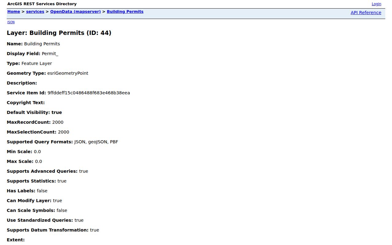
The layer is evidence of a property or project record, not proof of occupancy, and its complete historical cutoff was not located in the inspected sources.
Aurora Deeds Follow Legal Descriptions
Street numbers are convenient but fragile deed keys. An Aurora parcel can retain a lot, block, subdivision, quarter-section, plat page, or metes-and-bounds description when a city label or street presentation changes. Search the current owner as grantee, open the purchase deed, identify the grantor, and repeat with the earlier seller. Keep reception or instrument number, date, document type, legal description, and image or copy status in the worksheet.
Not every recorded instrument is a simple sale. Deeds of trust, releases, liens, easements, quitclaims, survivorship changes, estate deeds, and subdivision replats can branch the chain. A quitclaim may explain a name change without transferring a full fee title. If an online index stops or an image is absent, use the counter, office research station, phone, email, mail request, or a narrow public-record request. Current Arapahoe image and certified-copy fees were not located in the inspected official pages, so no local amount should be assumed.
Adams LandmarkWeb is a separate route for an Adams-side Aurora parcel.
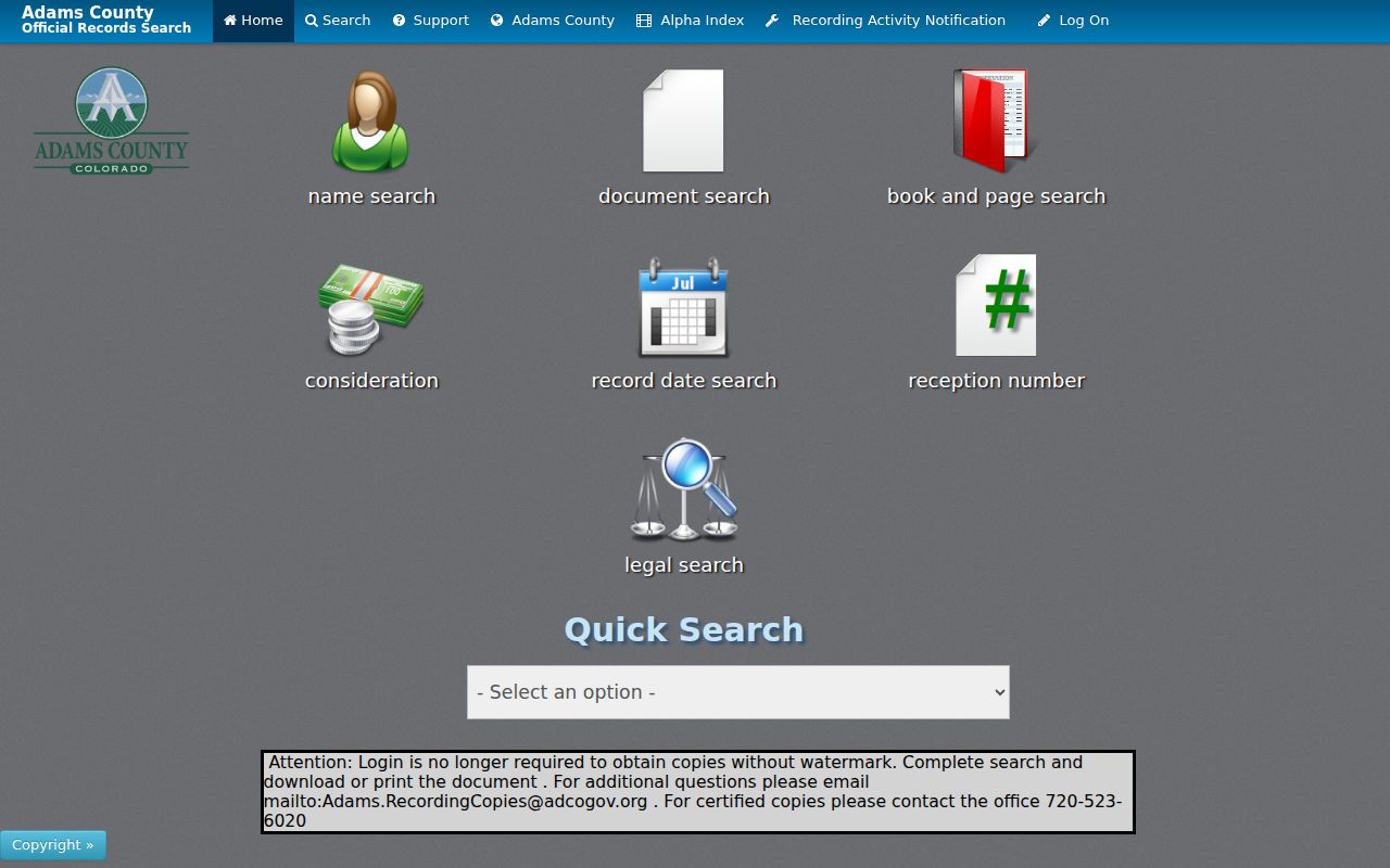
Adams offers name, document, book/page, consideration, date range, reception number, and legal search modes, while certified copies follow the office route.
Aurora's Three-County Street Trap
Aurora is one city spread across Adams, Arapahoe, and Douglas Counties. The same postal last line can therefore lead to a different assessor, recorder, court, and election office depending on the parcel polygon. The city map's County and Parcel ID fields are the fastest first check. Arapahoe is the largest share, but northern or western edges can require Adams records and the southeast can require Douglas records.
Annexation ordinance information can bridge a county address into later city context. It changes jurisdictional context, not ownership. Older records may use Fletcher, Aurora, East Colfax, Fitzsimons, Lowry, Buckley, Aurora Reservoir, Hoffman Heights, or a subdivision name instead of the modern street label. The research did not locate a verified list of Aurora street-renumbering or renaming events with dates. For a disputed old address, ask the city's addressing or planning custodian and the county GIS or road-record office rather than inventing a bridge year.
The Arapahoe public-records contact source documents the county handoff for a street record that needs office help.
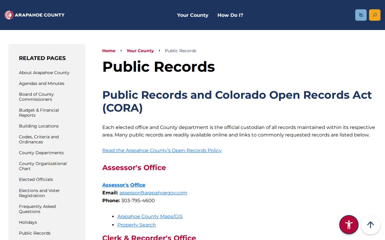
Phone and email contact can identify the correct division, record key, request format, and whether an appointment or copy service is required.
Aurora Voter Visibility by Street
Colorado does not expose a public web search that accepts a street and returns everyone registered there. The GoVoteColorado form is person-based, using First Name, Last Name, DOB, and residential ZIP. A separate SOS report process can provide requested voter data with report codes, fees, delivery, and use restrictions. The public fields described by the SOS include name, residential address, party and date, phone if supplied, gender identity if supplied, birth year, and prior-election participation. Confidential fields include full birth date, signature, email, identification numbers, and protected-voter information.
A street-level result must therefore remain modest. A name match can support a registration clue at an address, but it does not prove physical presence on a given day or list every household member. Protected voters and Address Confidentiality Program participants may be absent by design. Contact the county clerk for a local report or correction, and never scrape the person-match form to assemble an unrequested block list.
Historical Aurora Street Directory Clues
Older street work uses a different address layer. The digitized Library of Congress Aurora telephone directory runs from Winter 1936/37 through May 1947 and includes white and yellow pages, subscriber names, telephone numbers, street addresses, businesses, and institutions. The Aurora History Museum bibliography adds local targets for 1930, 1939, 1941, 1948, 1952, 1953, 1955, 1957, 1959, 1962, and 1972-73. Denver Public Library's householder and criss-cross runs cover Denver years, with geographic boundaries that must be checked before applying them to Aurora.
Search a past address with direction and street-type variants, nearby cross streets, old city labels, and subdivision or lot language. A telephone subscriber may be one person, a business, or an institution. A criss-cross entry may list an occupant or owner for the volume's geography. Pair the directory with a deed, census date, obituary, newspaper, or Sanborn sheet before treating a name as part of an address history. The full collection map and year list are carried on the Aurora city directory page.
Aurora Street Directory Terms
Four terms keep a by-address result from carrying more certainty than its source allows. Use the original parcel, map, deed, or directory wording beside any modern shorthand.
- Parcel
- A legally described piece of land identified by an AIN, PIN, lot, block, subdivision, or related land key.
- Situs address
- The physical location of a parcel or structure. It can differ from a tax mailing address or postal last line.
- Plat
- A recorded or assessor map that helps identify lots, blocks, streets, quarter sections, and subdivision geography.
- Criss-cross directory
- An address-order directory that can show a listed occupant or owner for a covered year and geographic area.
- Legal description
- The lot, block, subdivision, quarter-section, or metes-and-bounds wording that carries a deed chain when a street number fails.
These definitions also explain why a street directory can be precise about a parcel and still incomplete about the people connected with it.
What Aurora Street Directory Records Cannot Show
Public address records do not reveal every household member, private utility customer, DMV address, protected voter, or complete unit list. A mailing address may be outside Aurora, outside Colorado, a post-office box, a trust or business destination, an estate contact, or an older address. A homestead or exemption flag, when visible, is tax evidence and not proof of who lives at the parcel. A map neighborhood is a community overlay, not a legal ownership boundary.
Privacy boundary. Use Aurora street and address records for lawful personal research, genealogy, property history, civic questions, and source verification. Do not use them to stalk, harass, threaten, monitor, or harm another person. Ask the custodian about protected or confidential fields instead of trying to work around an omission.
A complete access sweep includes the online city or county portal, the GIS or assessor counter, recorder research stations, phone and email contacts, a mail or written request, and library, museum, or archive help for historical material. If a stable bulk-street export, live deed row, exact result card, or dated renumbering list was not located in the research, label the gap and use a narrower source request. A responsible Aurora street directory records the limit along with the lead.
The current Arapahoe office-hours source gives the counter route for address and deed questions.
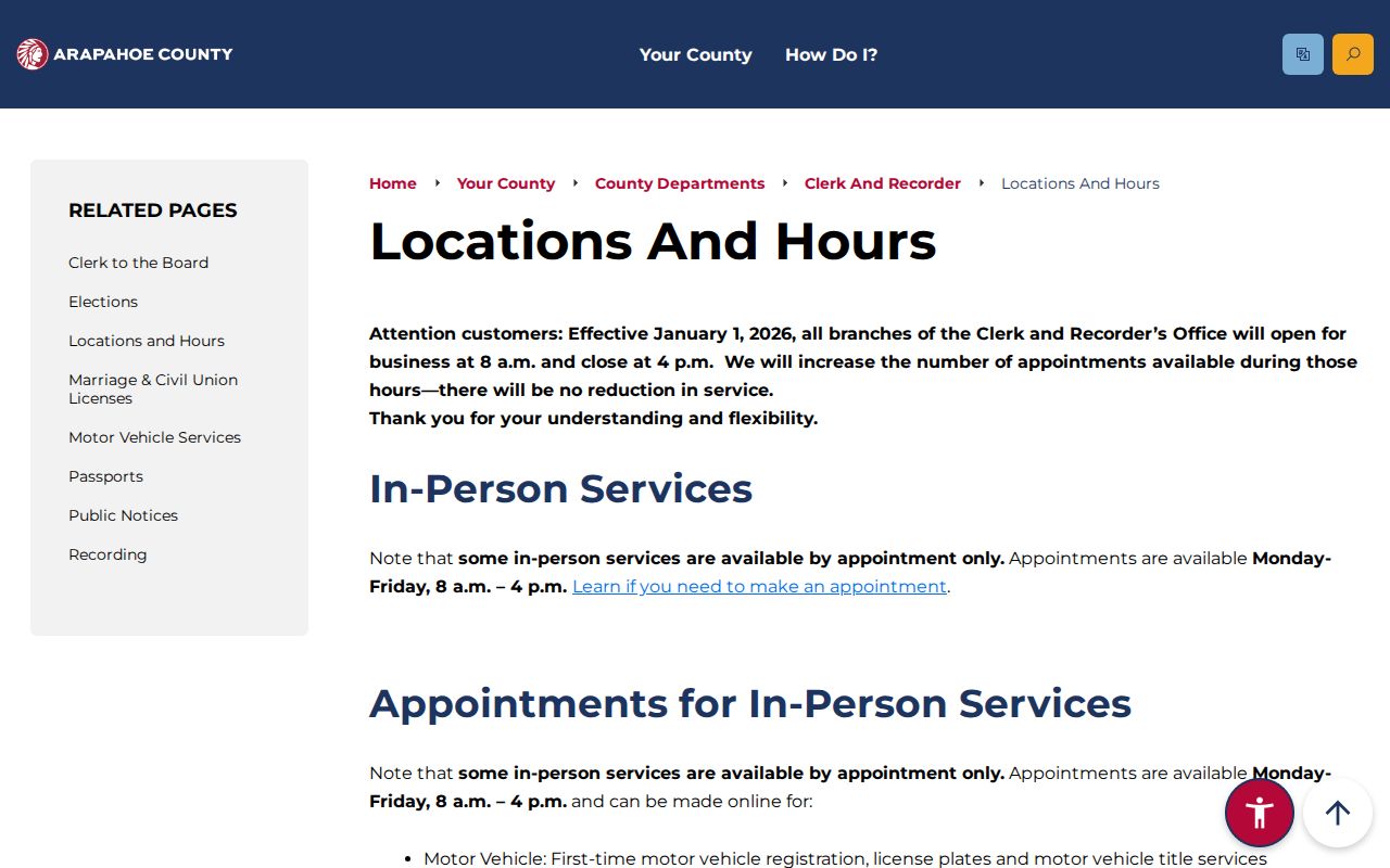
Office hours and appointment rules can change, so verify them immediately before an in-person deed, parcel, or copy visit.